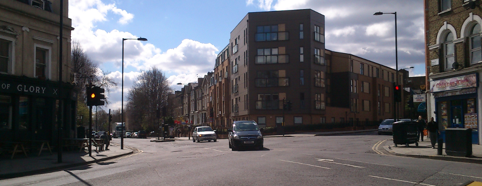
On Sunday I had a nice walk through Hackney, enjoying the sun and some really nice and pleasant urban surroundings. But I had in mind the collisions and fatalities I had read about (4.092 collisions in the five years to December 2012 resulting in 623 people seriously injured or killed; data: Hackney Road Safety Plan 2014-16) and the first of DfT’s road safety key themes – “making it easier for road users to do the right thing” (Strategic Framework for Road Safety, 2011).
My very brief, Sunday-afternoon conclusions could be summarized as: “nothing new under the sun” / the space is there and there and can be redesigned in a safer way. Given my lack of artistic talents, my that afternoon’s “creation” was a little sketch of one particular intersection, with some ideas of redesign. The example I have taken is the Amhurst / Rectory intersection, ranking only 19 in Hackney’s Road Safety Plan 2014-16 but representing on my opinion an interesting case. It can be also noted that given the numbers of causalities and the factors (inattention, …), this ranking is highly volatile.


I did have to fight for what I imagined as a simple hand-drawn sketch, because I couldn’t find the road registry I would have needed as basis. But I didn’t let this discourage me and sketched it using the land registry plan and Google earth. So please consider the following as doubly sketched.
What I did was:
- Observe the actual functioning, the behaviour of different users and the light phases
- Sketch the itineraries and the used space of the different vehicular movements
- Identify the pedestrian itineraries and the dangerous situations for the bicycle traffic
- Put in evidence the potential “unused” space
- Sketch a proposal addressing the observed problems using the available space

")


Observations summary:
- very open and large intersection pavement surface allowing (encouraging) higher speed vehicular movements
- lack of legibility
- numerous conflicts between vehicles (right-turns from Amhurst in conflict with the direct flows) and between vehicles and bicycles, particularly serious for users coming from the same branch (bicycle driving straight, car turning right, …)
- indirect pedestrian circulation
- not very pleasant public space, “no man’s land”
I sketched a proposal based on these observations and the potentials, very much in the spirit of UK’s Manual for Streets or New York DOT’s Street Design Manual, making a more compact (double) intersection, leaving the traffic the same lanes as today but with gauges corresponding better to the real necessities and allocating more space to the pedestrians and the bicycles, improving their comfort and safety. The purpose is mainly to show the space that can be re allocated – a serious draft would of course need more precise dimensions and curves exam and the intervention of a urban planner.
I included variants for one specific part, the northern branch of Amhurst Road, with the idea to illustrate the possibilities for the affectation of the residual pavement space – the solution has to prioritize the uses and the purposes: pedestrians ? bicycles? car parking? better visibility?… in a local optimum given a certain space.
")

")


This is just one idea for a safer functioning with a geometry moderating the speeds of the vehicles, more visibility for the pedestrians, safer positioning and starts for the bicycles and a more equitable and peaceful use of the urban space. The draft uses the already available public space and can be realized with a limited investment (see for instance New York’s “plazas” technique to reallocate space without heavy infrastructural interventions).
This post is also available in: French